It’s become something of a minor tradition (it started in 2016/17) that my first and last hikes of the year take place in the Sperrins, my nearest mountain range.
The target for my opening hike of 2018 was a small man-made landmark high up in the hills, known as Father Devine’s Well. My walking companion Canice had located it before but this would be my first visit.
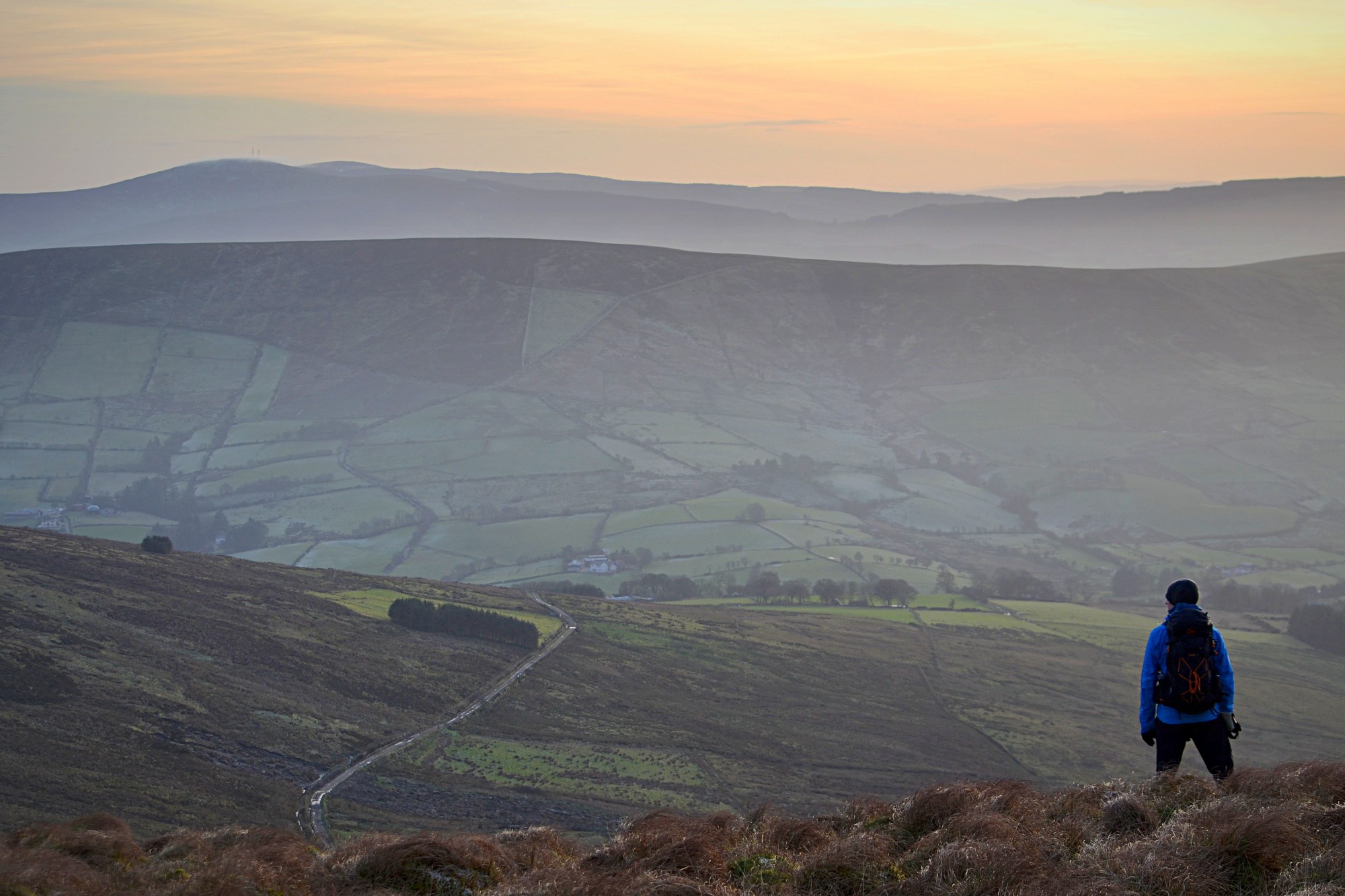
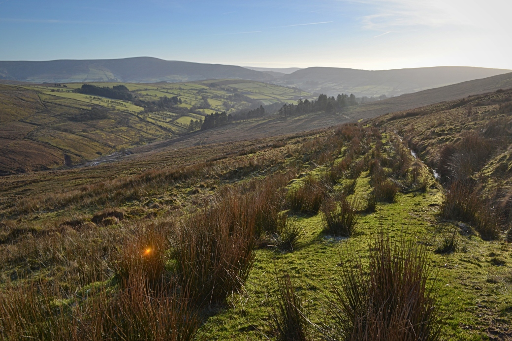
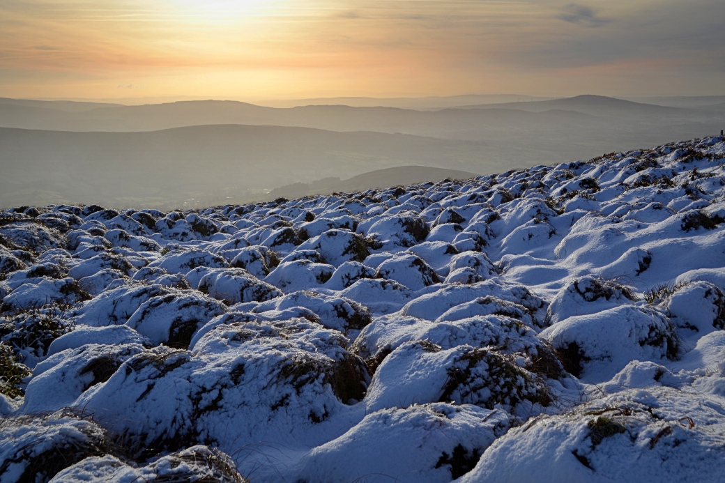
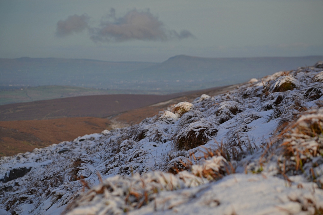
Top image: taking in the view across the Glenelly Valley on our way down Mullaghclogher
We started just on the northern side of the Glenelly Valley at Badoney Church (also known as Bodoney). The current St. Patrick’s Church of Ireland dates to 1784 and is said to stand on the site of an early Christian monastery. A number of stone crosses, now kept inside the church, and an early bronze bell found nearby in 1856 and now in the Hunt Collection in Limerick, point to the site’s significance.
The graveyard has some wonderful views of the hills on each side of the valley and it’s a lovely place to stop at, especially with the heavy frost on the morning we were there.
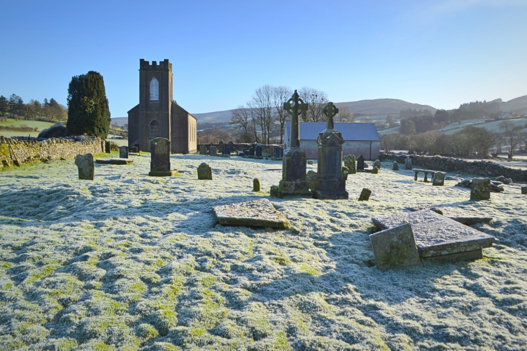
Badoney Church and graveyard; the deep glacial cut in the Sperrins known as Barnes Gap can be seen on the right
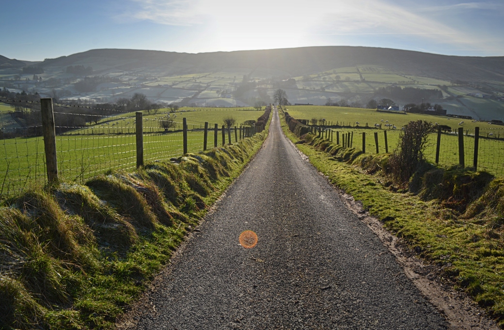
We walked back up to the main road and set off along one of the many dead-end roads/tracks leading into the mountains on the northern side of the valley. The views quickly opened out both to our front and rear. There was also evidence of the mud slides that caused so much damage in the Sperrins following flash flooding in August 2017.
A view to the north; the higher peak is Mullaghasturrakeen
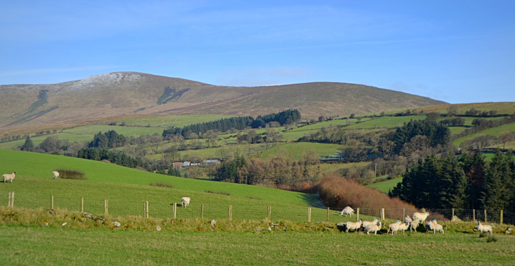
A couple of views from the road and later, grassy track across to the lower hills on the southern side of the valley
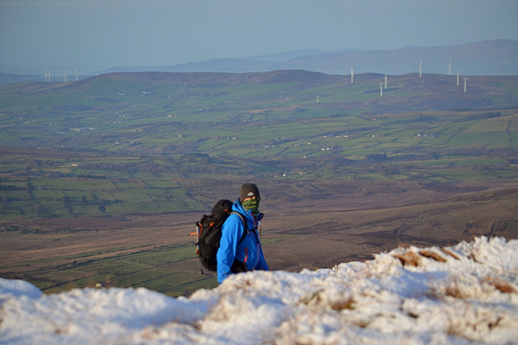
In order to find Father Devine’s Well, we veered off onto the open mountain before reaching the shoulder between Mullaghclogher and Mullaghasturrakeen. Locating it took quite a bit of ascending and descending and walking back and forth over the boggy and now snowy ground.
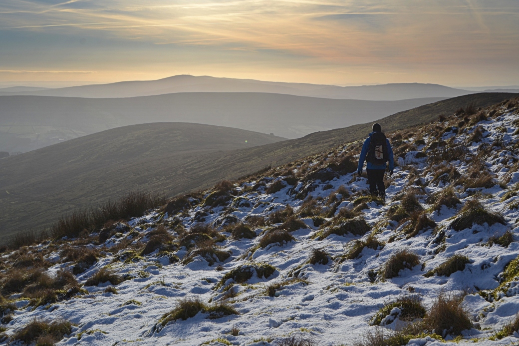
Canice in search of Father Devine’s Well
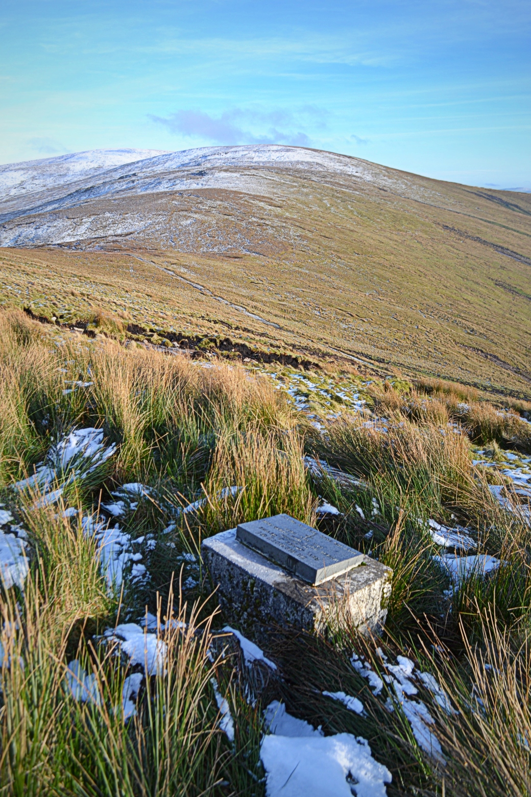
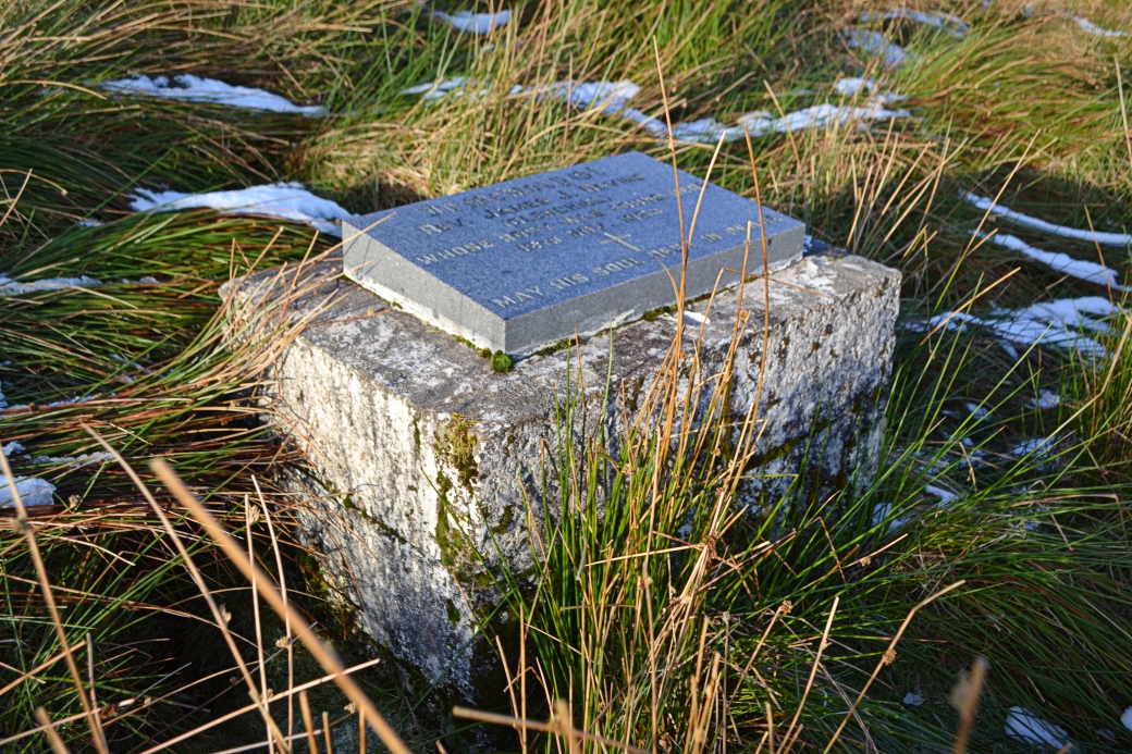
Really starting to feel the cold, I’d pretty much given up when Canice spotted the structure from above. As he’d found on his previous visit, the location on the ground didn’t match where it was marked on the Sperrins Activity Map. The ‘well’ consists of a cube-shaped concrete base topped by a plaque with the following inscription:
In memory of Rev. James J. Devine (Glenchiel) whose body was found here 12th Nov. 1933
May his soul rest in peace
I was told by the Glenelly Our Home Facebook page (a great source of information and photos from this part of County Tyrone) that Father Devine is thought to have died following a tragic fall on his way over the mountains to visit his brother. While there is no visible water source today, there are references to it in the past.
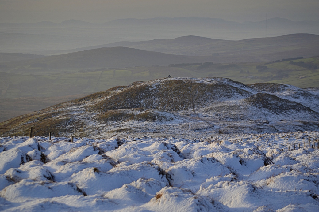
After spending some time at the memorial, we decided to head for the summit of Mullaghclogher, the nearest peak. There were some wonderful views across layers of hills to the south.
Bessy Bell near Newtownstewart can be seen in the distance on the right; I like the effect of the rows of snow-covered grass tussocks
For a little known mountain in a lesser-trodden range, Mullaghclogher gives a great return for the effort, especially on a clear winter day. It was only when we reached its summit that the view to the west and north opened up, with wonderful new vistas over Counties Tyrone, Donegal and Derry. We enjoyed these in a sheltered spot just below the summit where we stopped for lunch.
Scouting out our lunch spot
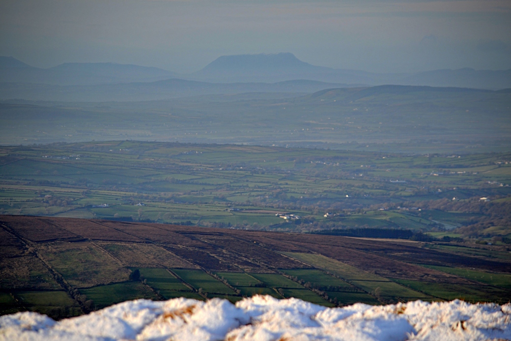
The unmistakable table-like shape of Muckish Mountain in Donegal stood out in the distance
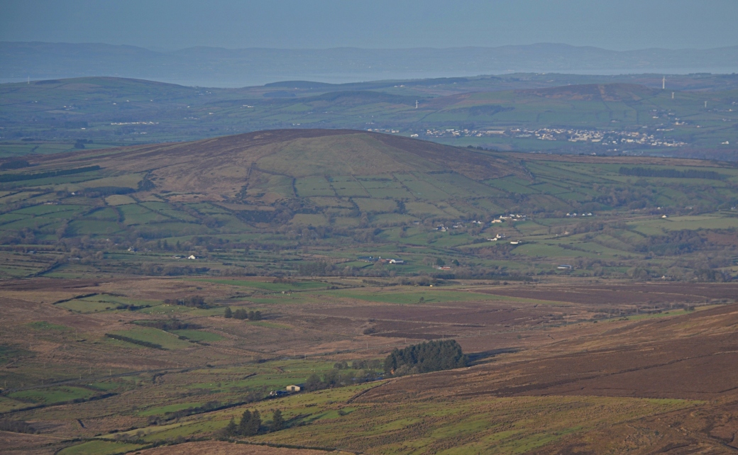
Mullaghcarbatagh with its prominent beehive-like summit cairn lay to the west, with the Bluestack Mountains visible in the distance; Strabane Transmitting Station can be seen on the right
Benbradagh, which overlooks the town of Dungiven, seen off to the northeast
The village of Claudy sitting beyond Crockdooish, with Lough Foyle and the Inishowen Peninsula beyond
It was now 3pm and conscious of the short evenings, we headed swiftly downhill in the direction of another lane which would take us back to the main road and our start point. There was some lovely light over the hills to the south of the valley, and you could still make out the frost lying on the patchwork fields.
Here’s an aerial video map of our route made using the Relieve app.
Total distance: 12.3km / 7.6 miles (including zig-zagging to find Father Devine’s Well)
Map: OSNI 13 or Sperrins Activity Map
Some earlier posts on hiking in the Sperrins:
Snow in the Sperrins, Christmas 2017: Mullaghsallagh |
Sperrins Photo Blog: Vinegar Hill Loop |
Crockbrack Way (and a bit of Hudy’s Way)

Hi Martin, happy New Year! You picked a wonderful day for your walk. They are all great pictures, but I just love the Bessy Bell shot. All those foldings of the Earth’s crust below the shining sky: glorious! (I need to get out there!)
LikeLiked by 1 person
Happy New Year to you too, Ashley. Thanks for the comment, I like your technical description of the layers! It’s a special place, definitely worth a drive through the valley and a stop at the church.
LikeLiked by 1 person
Wow the pictures are absolutely amazing, I really love the soft light in them, they seem to mask how bitterly cold it was up there. Nicely written as usual, well done.
LikeLiked by 1 person
Thanks Canice, you do get some lovely light on a clear winter’s day.
LikeLike
Enjoyed that Martin – I’ve been up on those summits, but never took the detour to look for the well.
LikeLiked by 1 person
Thanks Aidy. It’s tricky enough to find but an interesting landmark.
LikeLike