
First blog post of 2021 and we’re in September. This time I’ll blame the tough lockdown earlier in the year and two bouts of injuries and recoveries (knee in February then knee again coupled with wrist in late June), also technical issues with WordPress.
I’d been feeling the cabin fever again lately and fancied getting away somewhere to do a long, flat walk to test the strength of my knee. After looking at options I decided on the Royal Canal path owing to its accessibility.
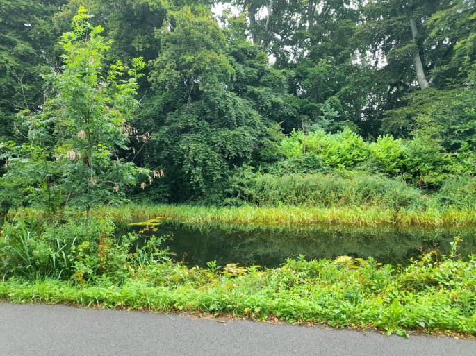
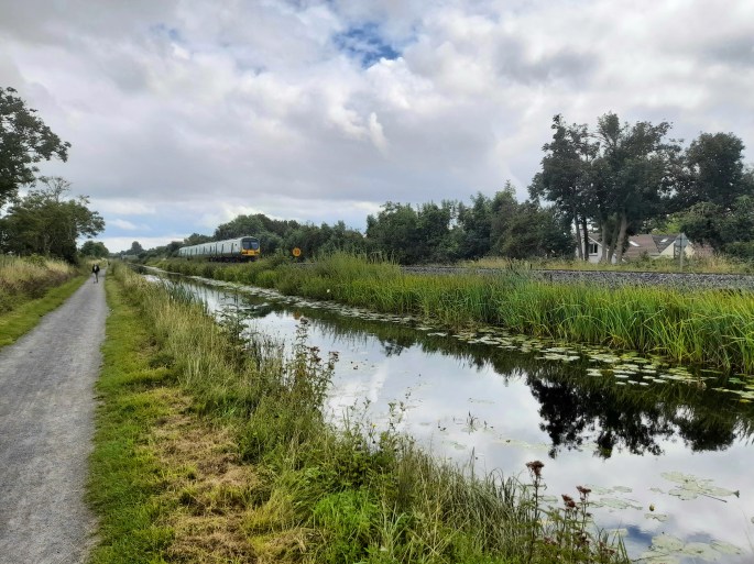
Top image: somewhere along the canal in west County Dublin
The eastern sections of the canal are very doable as linear routes if you’re travelling as I was by public transport; the Dublin to Sligo railway line runs parallel to the canal to Mullingar (though there’s a big gap without a station after Enfield). I’d previously walked the 19km section from Maynooth to Enfield via Kilcock back in 2015.
This time I settled on joining the canal at the Navan Road Parkway station with the aim of walking the (once again) 19kms or so to Maynooth. My reasoning for choosing this start point was simply because it’s the last station on the route that’s inside the M50 Motorway orbiting Dublin City, which would make it feel like more of an accomplishment. Successfully finding my way out of this very large and empty station proved to be the biggest navigational challenge of the day.
(As a slight aside, this was my first time properly ‘back in the EU’ since the end of the Brexit transition period at the close of 2020)
A lot of people don’t enjoy these towpath walks, or at least prefer to cycle them so they pass by quicker. Personally I’ve always liked the sense of covering a decent linear distance without having to worry about where you’re going or having to avoid vehicle traffic; you can just enjoy the nature or get lost in your own thoughts. I’ve previously posted about walking the River Barrow, further south, its grassy towpath a joy to walk on.
The early stages of my recent walk were more scenic and tranquil than I expected, considering they passed through the western suburbs and industrial areas of Dublin. This part of the route was generally more secluded than the section in County Kildare, which was in somewhat more open countryside, often with clear views of the trains passing by.
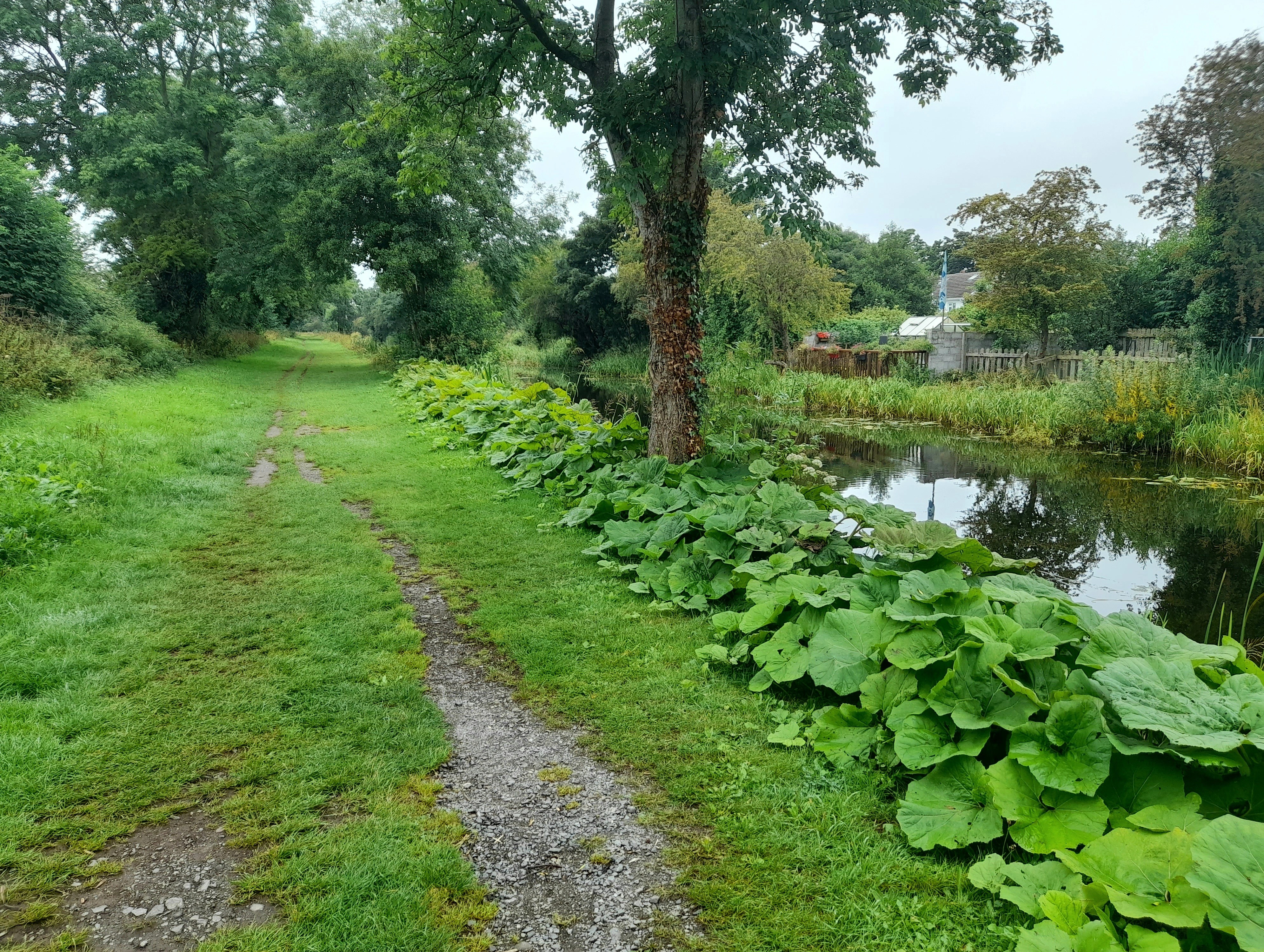
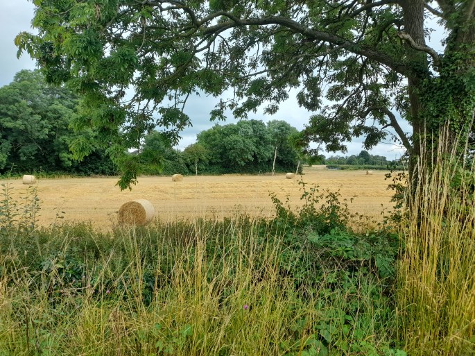
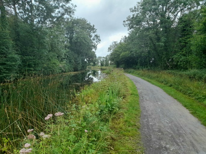
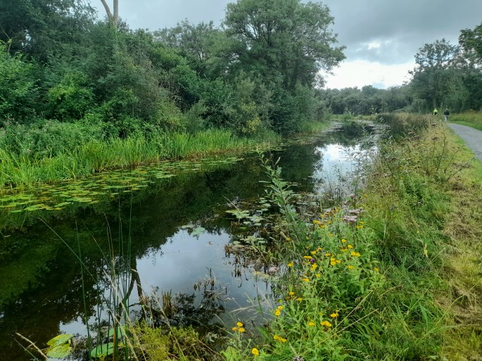
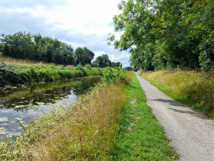
The selection of photos gives a feel for my route and the surprising variety of scenery and terrain underfoot.


I passed a few of these shoe sculptures which mark the National Famine Way route between County Roscommon and Dublin; it follows in the footsteps of 1,490 people who were forcibly marched along the canal to Dublin and onwards to emigration in 1847

A grassy-underfoot stretch reminiscent of the Barrow Way

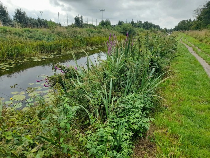

The canal bank was lusher and more colourful than I expected; the water lilies were a picturesque sight too
Much of the Kildare section was liked this: pleasing surroundings, perhaps with a gentle bend, but hard to pinpoint geographically in hindsight


On the final approach to Maynooth
I’d considered ending the walk at Leixlip and jumping on a train if I was struggling but felt fine when I got there and made it to Maynooth tired but in no real discomfort. It really boosted me psychologically as it was by far the longest walk I’ve done since my last knee ‘episode’, which dented my confidence and left me very unsure on my feet, again. Maybe I’ll manage a respectable hill walk soon. I definitely plan to return to walk more of the canal, including the first stretch from the Dublin Docklands which looks doable in under three hours.
Total distance (with brief GPS malfunction): 18.7km / 11.6 miles
More info: https://www.sportireland.ie/outdoors/walking/trails/royal-canal-way /
https://nationalfamineway.ie /
Lenny Antonelli’s book East Of Ireland Walks – On River And Canal: A Walking Guide also covers a couple of more westerly sections of the Royal Canal
Also see: The Barrow Way: Athy to Carlow /
The Barrow Way: Monasterevin to Athy

Lovely piece. This is my home ‘patch’ as I live in Leixlip, so I recognise quite a few of these locations. The aqueduct over the M50 gets me every time, although the more impressive engineering feat is the one you passed over just before Louisa Bridge, over the Rye River. Though easy to miss it.
Shame that much of what makes the Barrow Way special will be lost in the headlong rush to make everything ‘tourist-friendly’. Which I know makes me some form of eco-snob, but there you go. Guilty as charged!
LikeLiked by 1 person
Thanks for the comment, had seen that’s your stomping ground! I did see the info board for the Rye aqueduct but found it hard to appreciate it from up there. Am curious now but can’t seem to find any pics of it from below or at a distance, must look impressive? I definitely preferred the grassy bits of the canal path. I read it’s wide and surfaced all the way west from Maynooth now which would get a bit monotonous in comparison.
LikeLiked by 1 person
It’s hard to get the measure of the aqueduct but you can get down on both sides on the west. The east is also accessible from River Forest, but it’s not as scenic. There’s a good track down from Louisa Bridge, and you will pass the impressive Roman Baths too.
The towpath from Maynooth is indeed ‘paved’ all the way to the Shannon, so it’s great for bikes or running/training. There are a few sections with towpath both sides, so there is still plenty of grass left. Just have to be careful as not all of these opposite towpaths lead to an exit.
LikeLike
That’s good to know for next time I’m in the area. Yes am sure I remember walking on both sides the time I did Maynooth to Enfield , was always a fear of getting stranded!
LikeLiked by 1 person
Certainly from Ferran’s Lock past Kilcock, the old route was on the south bank all the way to Cloncurry Bridge. That’s still available, and still grassy and lovely. https://royalcanalrunner.com/ has all the details.
I wasn’t paying attention the time I did the Barrow Way from Robertstown to St. Mullins and ended up stranded at Rathangan. Not my finest hour!
LikeLike
Blog looks good ta. Definitely want to do the more westerly sections some time even if a bit less accessible. That’s no good getting stranded. I think I’d be most annoyed that it messed up my Strava map!
LikeLiked by 1 person
Interesting blog Marty. Really like the shoe sculptures, they tug on the heartstrings a little and give a sense of reality to an event that happened a long time ago.
LikeLiked by 1 person