I thought I’d put up a quick post following my walk yesterday as I’m aware that this blog has become a series of occasional round-ups.
I had a day off and seeing as my original plans were thwarted by Covid-19, headed for the Sperrin Mountain foothills… specifically in the eastern Sperrins since the western end is technically out of bounds, being in the ongoing virus red zone of Derry City/Strabane.
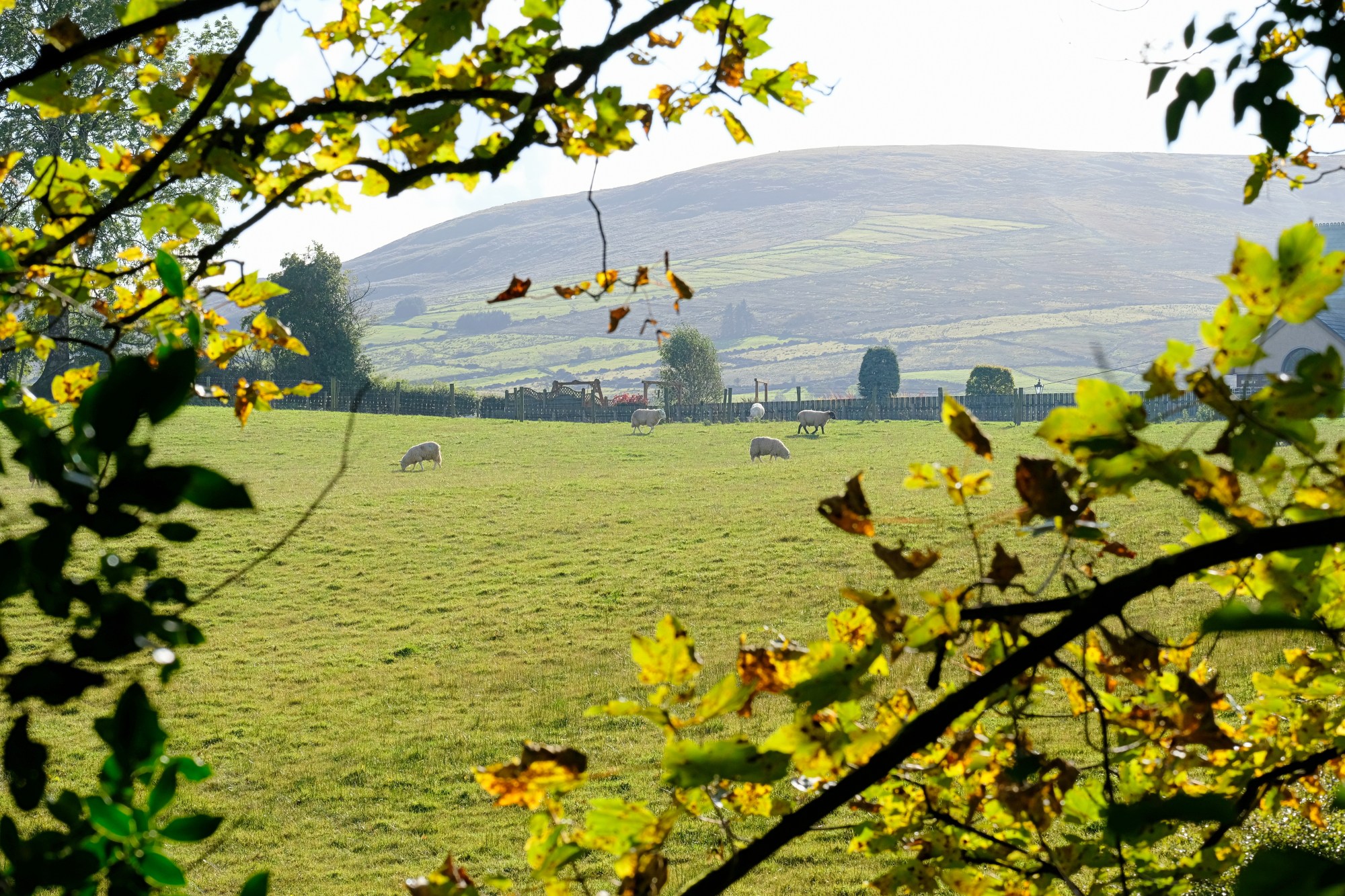
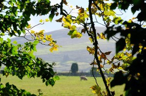
Top image: Coming out of Moydamlaght Forest, with a view towards Crockbrack
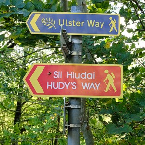
I opted for Hudy’s Way, a looped route which does a circuit of Moneyneany village and is named after a local ‘character’ who tried to fly off the nearby cliffs on Mullaghmore mountain (I can’t remember if he survived or not and Google doesn’t seem to know either). The route was familiar to me having walked the excellent Crockbrack Way several times over the years, as the two overlap a little (the Ulster Way and International Appalachian Trail also cover some of the same ground).
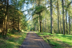
I set off in an anti-clockwise direction from the village (i.e. east of the main road), as I wasn’t familiar with this side of the route, which arcs upwards and into Moydamlaght Forest via quiet country roads and lanes. Despite passing showers I enjoyed the new views over a part of the world I’ve been exploring for many years.
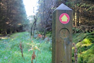
The main issue with the route was the very patchy waymarking. I was grateful to have 4G so I could compare my progress on Strava with the route map on www.walkni.com. I wasn’t sure if this was merely due to lack of maintenance or if locals had removed the signposts in places because they no longer wanted walkers in the area; at one point in particular I got the distinct impression I shouldn’t be there. I read a couple of recent reports on a walking website afterwards which mentioned access issues in this same section. Hopefully these can be resolved as it is a very enjoyable route, especially the part leading into the forest which makes use of a very short section of boardwalk and a firebreak.
In any case, the woeful waymarking eventually led me to abandon the walk altogether. When I rejoined the main road I couldn’t find a sign indicating the lane that would lead onto the route’s western section, at which point I decided I really couldn’t be ars*d anymore and was happy to walk back to my start point in the village. I was a bit more familiar with that side of the route anyway and was happy to leave it for another time.
Total distance: 8.5km / 5.3 miles (even with my signage-related backtracking, the full route must be quite a bit longer than the 5.8 miles stated on Walk NI)
Map: OSNI 13 or Sperrins Activity Map
More info: Hudy’s Way listing on Walk NI website
Also see my earlier post: Crockbrack Way (and a bit of Hudy’s Way)

Looks like an enjoyable ramble, even with the poor signage.
LikeLike
That’s a real shame! You must have felt very frustrated. The area looks great though, maybe a return trip on the cards? How’s the ankle?
LikeLiked by 1 person
Yes will definitely go back. I flagged the access issues which hopefully are just temporary. Foot is back to normal ta, great to be getting out as normal again. Hope you’ve been getting your nature fix?
LikeLiked by 1 person
The last 12 months have been…iffy…! My wife and I have not had good health this year, getting older isn’t all it’s cracked up to be. It’s been a bit depressing all round. I’m glad to see you’re getting out again though.
LikeLike
Sorry to hear that. And everything going on right now obviously doesn’t help. When I was off my feet I liked even just sitting out in the shed and reading, kept me in touch with the outdoors. Take care.
LikeLiked by 1 person
You make me smile Martin! I can hardly get into my shed! Surely you meant to say ‘sun room’ 🤣
LikeLiked by 1 person
Ah that’s not good but whatever works for you!
LikeLiked by 1 person