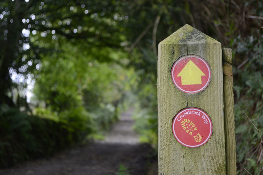
Needing a midweek mountain fix to clear the head, I drove to the Sperrins to walk the Crockbrack Way.
This circular route is one of a number of new/upgraded trails launched in 2015 to help open up the eastern Sperrins area to walkers and visitors. It largely follows long-existing tracks, with a good stretch over open mountain in the middle.
It’s one of the highlights in a range that traditionally hasn’t been as accessible as others. This was my second time doing the full loop.
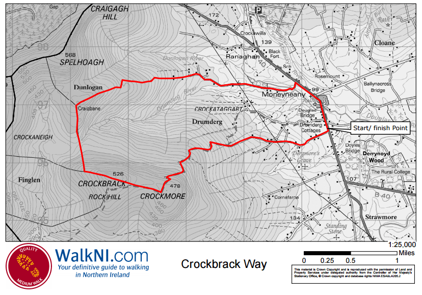
Route map courtesy of www.WalkNI.com
The route starts in the picturesquely-located County Derry village of Moneyneany, near Draperstown. There’s parking and an information board at Mulligans Bar to the south of the village, from where people generally start the walk in a clockwise direction. This time I chose to do it in reverse, and used the church car park at the top end of the village.
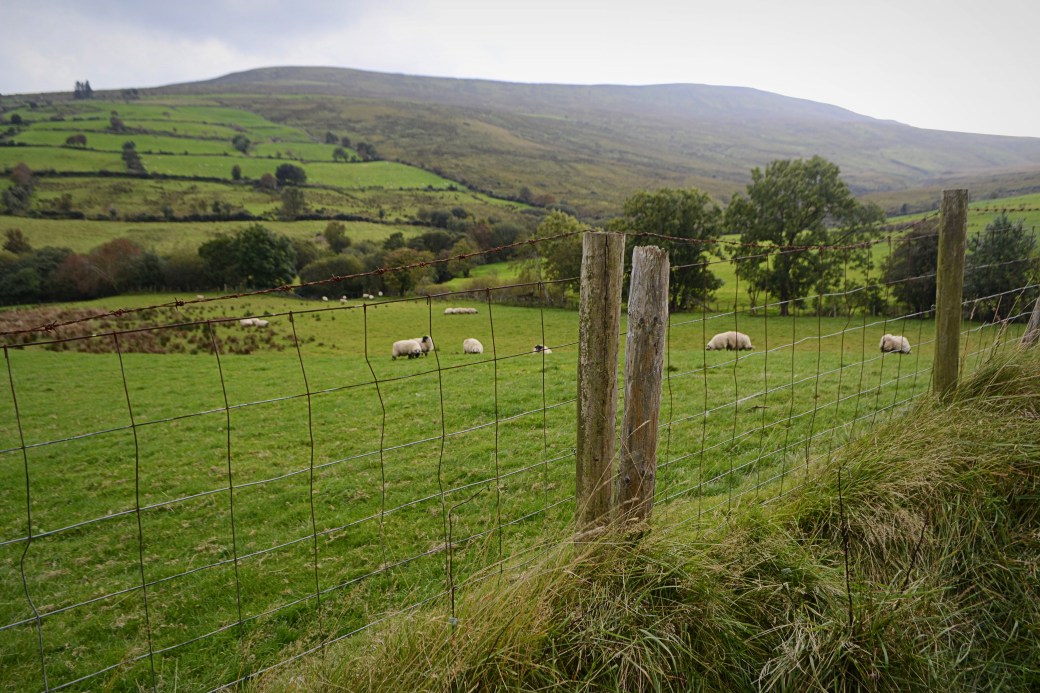
Turning left out of the car park, the route follows the main road for a short distance before taking the first road on the left. You cross the Dunlogan River and pass a number of houses along the gently rising, tree-lined road. Even from the early stages there are views of the highest point of the walk, the bulky peak of Crockbrack (526m), to your left.
An early view of Crockbrack
A slightly shorter route, Hudy’s Way, joins the Crockbrack Way briefly before skirting off to the right. It’s named after a local ‘character’ who apparently tried to fly off nearby Mullaghmore mountain using a pair of home-made wings.
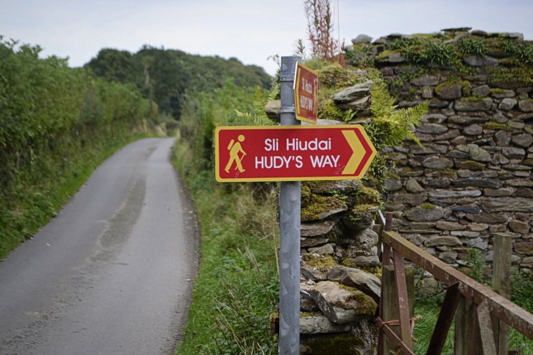
Hudy’s Way crossing the route
The tarred road eventually comes to an end and the route continues as a rough track as it leads more steeply uphill.
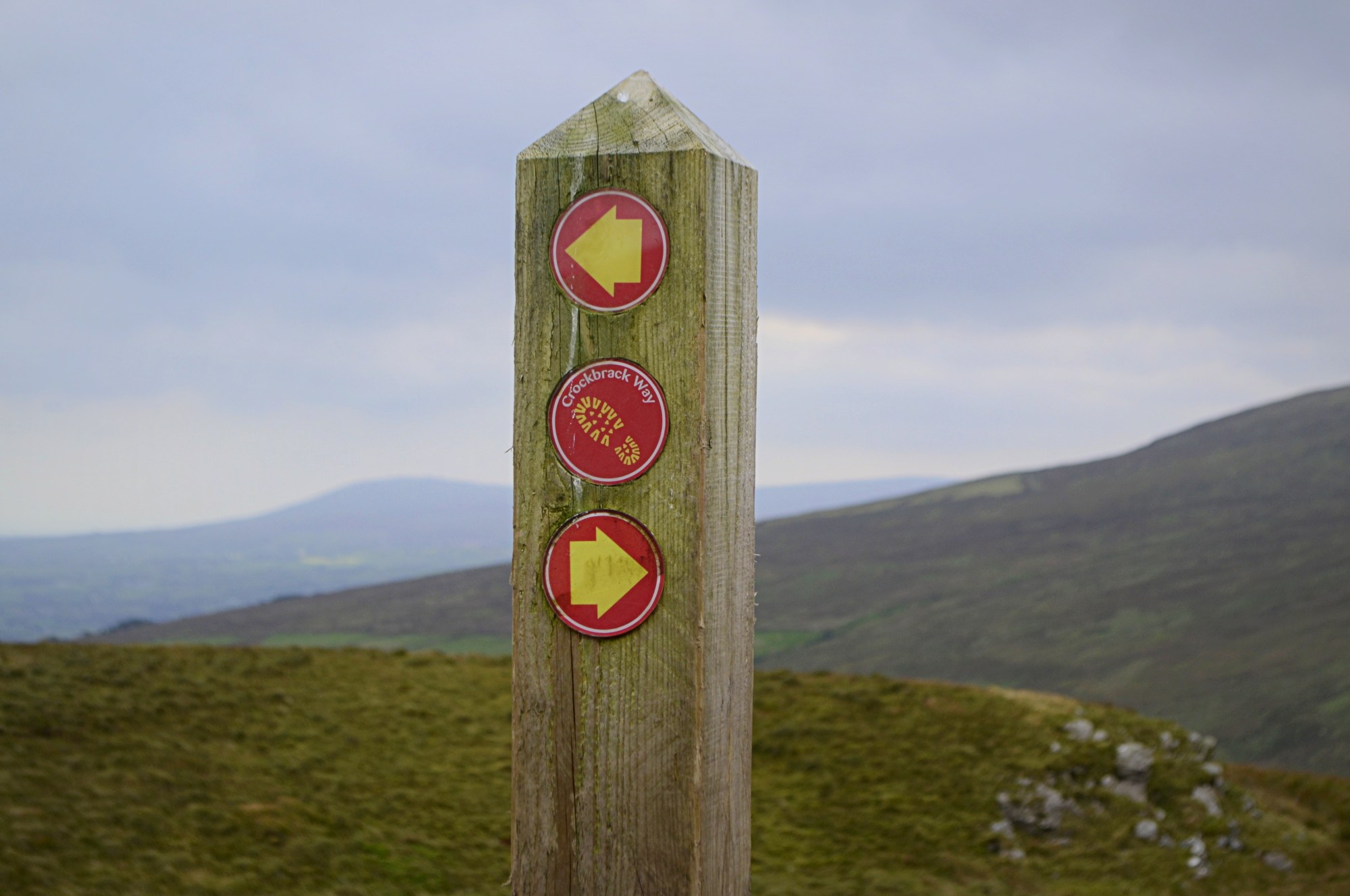
End of the tarred road: the direction arrow isn’t much of an exaggeration here
The conditions underfoot are variable and it’s tough going at times but thankfully the views help compensate; I could now see all of the surrounding
mountains, and the low-lying countryside of the Moyola River valley behind me to the east.
 A backwards glance
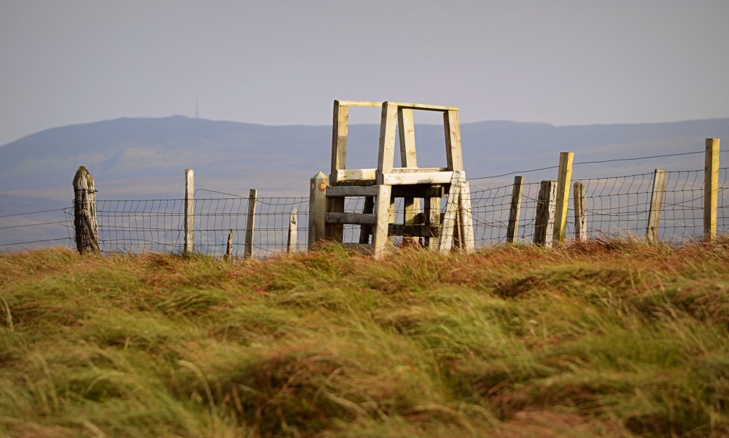
The track ends at the minor peak of Craigbane where you cross a rather basic wooden stile on the left (on such occasions I’m reminded of the snazzy, metallic green stiles found in parts of the Cooley Mountains).
It’s onto open mountain now as you follow a fence line downhill and then uphill again towards Crockbrack itself. This part is typical squelchy Sperrins terrain and will probably require a diversion or two to try to stay dry.

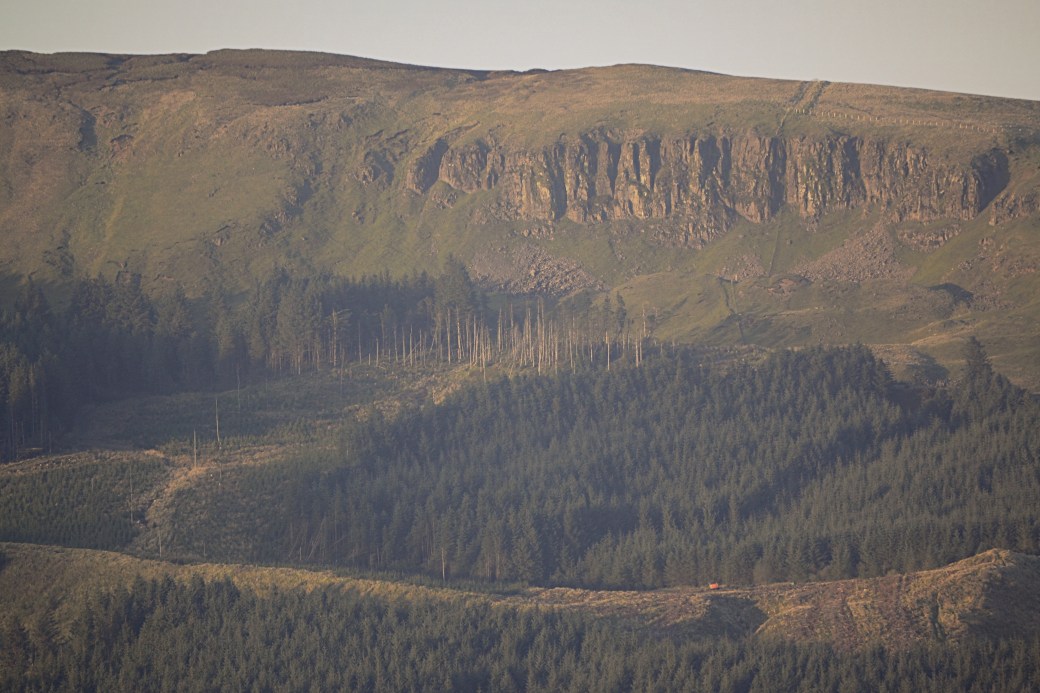
Zoomed in view of Moydamlaght Forest and Bohilbreaga taken on the descent
The narrow valley of the Drumderg River gives some fine views to your left though, and the dip makes an ideal lunch stop with some small, rocky outcrops.
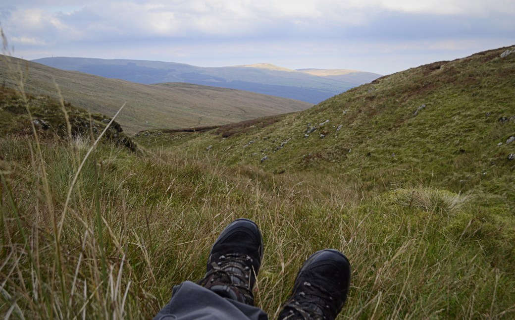
Post-lunch boot selfie
After replenishing (and availing of the handy 4G signal) I made my way uphill to a fence junction where the route turns left again. The views were now excellent: north to Benbradagh with Binevenagh just visible beyond, across the Glenelly Valley to the southwest, and west to the imposing twin tops of Dart and Sawel. The latter of course being the daddy of the Sperrins and highest point of both Derry and Tyrone.
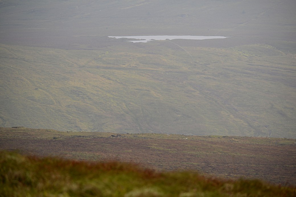
View of hidden Lough Ouske across the valley to the south; it straddles Derry and Tyrone
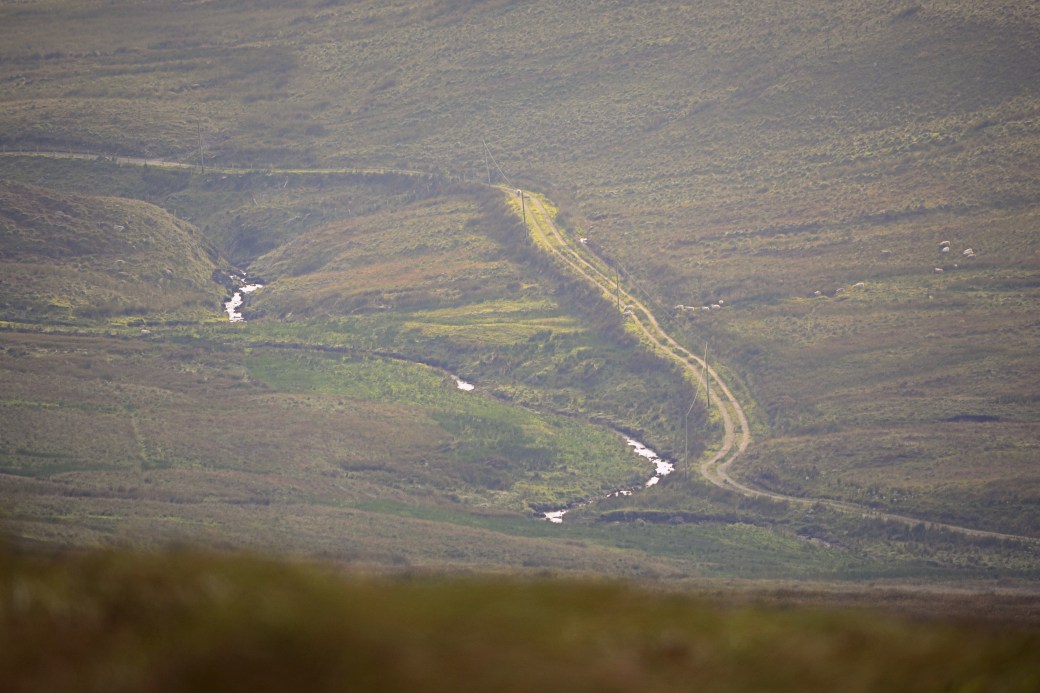
Winding track and stream between Crockbrack and neighbouring Mullaghsallagh
As I walked the short final stretch towards the summit, the Sun cast a glorious evening glow over the tussock grass beneath me and the surrounding peaks.
Crockbrack summit with Slieve Gallion beyond
A second wooden stile at the summit gives access to a another track which leads all the way back to the village. I stopped for a minute on top of the stile to take in the wonderful 360 degree views and record a short video on my phone.
The conditions underfoot were easier on the descent as I made my way down via Crockbrack’s smaller sibling, Crockmore.

Route to Crockmore
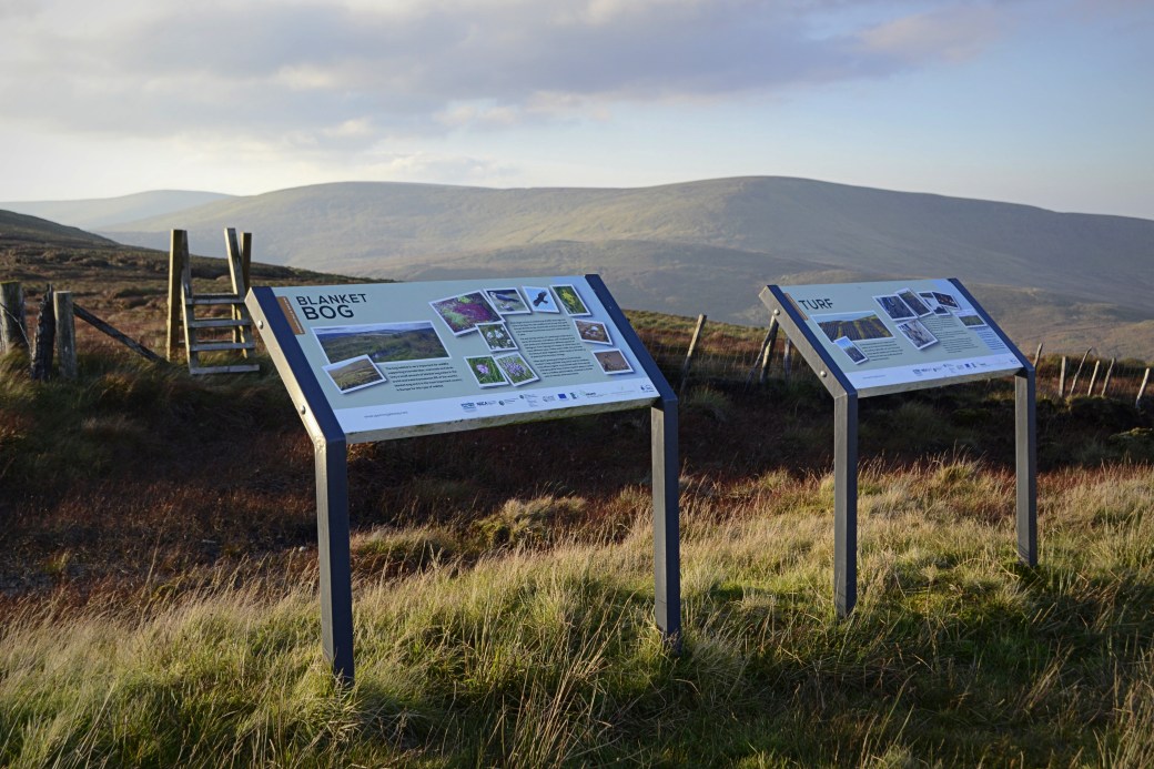
Information panels near Crockmore’s summit
I also found the views more open and captivating coming down from this direction, especially towards the Mullaghmore-Bohilbreaga-Coolnasillagh ridge to the northeast, now bathed in a soft light.

View to the northeast from Crockmore
Close-up of Eagle’s Rock (or Craig-na-shoke) on Mullaghmore
These views may have distracted me as it later emerged I’d taken a wrong turn onto the Ulster Way and Hudy’s Way. Some feedback I’d give is that it’s not always clear where the Crockbrack Way diverges from the Ulster Way. The detour added some extra distance but brought me out a little closer to my start point, just as the Sun had set.
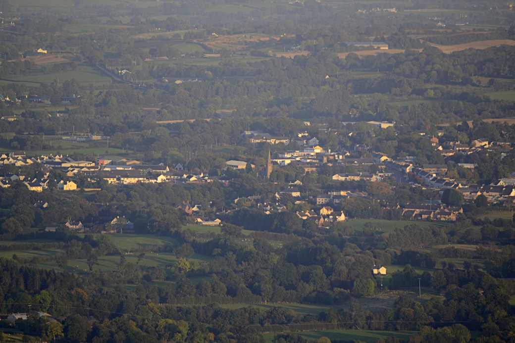
View over Draperstown on the way down
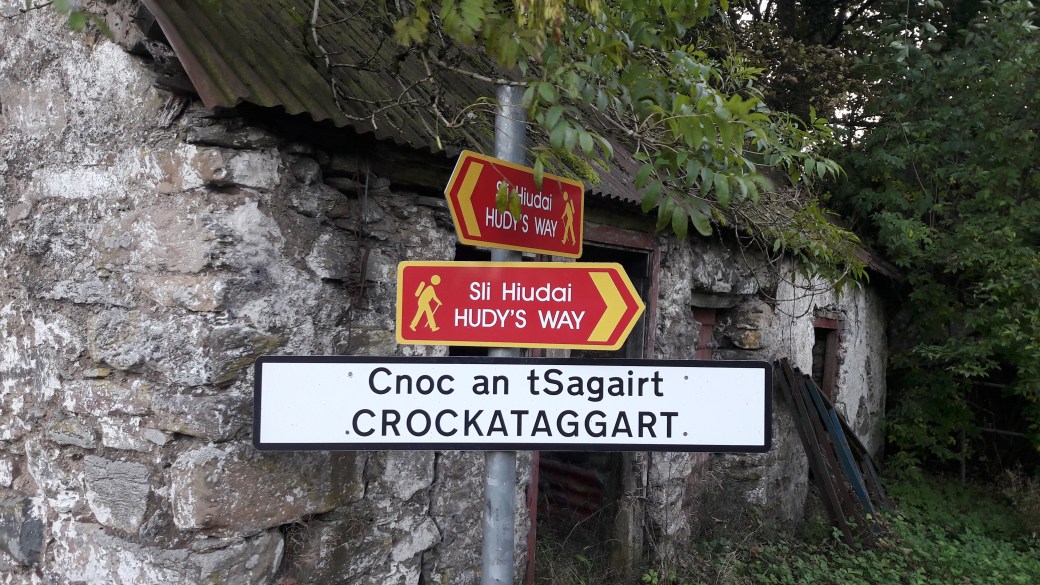
Crockataggart: if you end up here you’re not on the Crockbrack Way anymore
Total distance: 13.2km / 8.2 miles (including Hudy’s Way detour and some backtracking to recover an abandoned camera lens)
Map: OSNI 13 or Sperrins Activity Map
More info: Crockbrack Way and Hudy’s Way listings on Walk NI website

Great blog Marty..
LikeLiked by 1 person
Another nicely written piece Marty. I feel I have just walked it myself after reading this. Some of the pictures look amazing in that glorious autumnal light. You were very lucky to get it.
LikeLiked by 1 person
Thanks Canice, the Sun came out near the top and transformed the landscape. Really was enchanting.
LikeLike