This would be my fourth visit to Trostan, the County High Point (CHP) of Antrim.
The most common approaches are from the west and south, via a short detour off the Moyle Way/Ulster Way. These are known for being perpetually wet and laborious though and have given Trostan a bad rep.
This time I was accompanying my pal Polly as part of her third round of completing the CHPs, and we opted for a less direct but hopefully dryer and more scenic route.
This involved arcing around the mountain from the east and north via a track I’d spotted on the map after a previous visit.
We parked at a small lay-by on the north side of the B14 road through Glenariff Forest Park, at D193220. From here we walked north along the road until we met the forest edge on our left, then crossed a wire fence covered by a handy plastic tube. A short, rushy walk northwest brought us to the track.
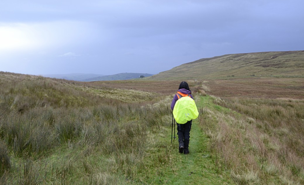
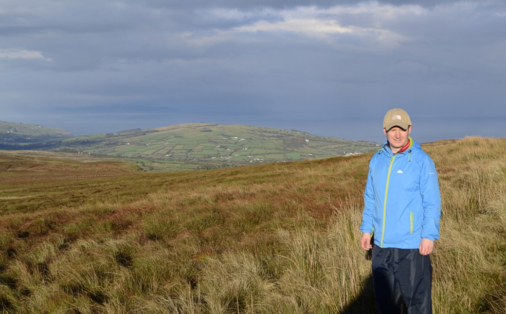
Polly near the start of the track
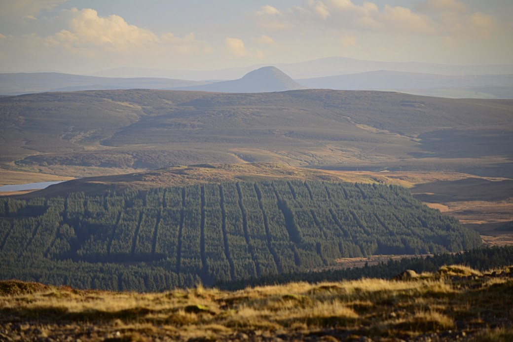
The track (more a grassy and at times rush-covered path) initially heads northeast before reaching a fork, and we followed the main spur which passes under Trostan’s eastern slopes and a line of imposing cliffs. This section resembled an old railway embankment at first.
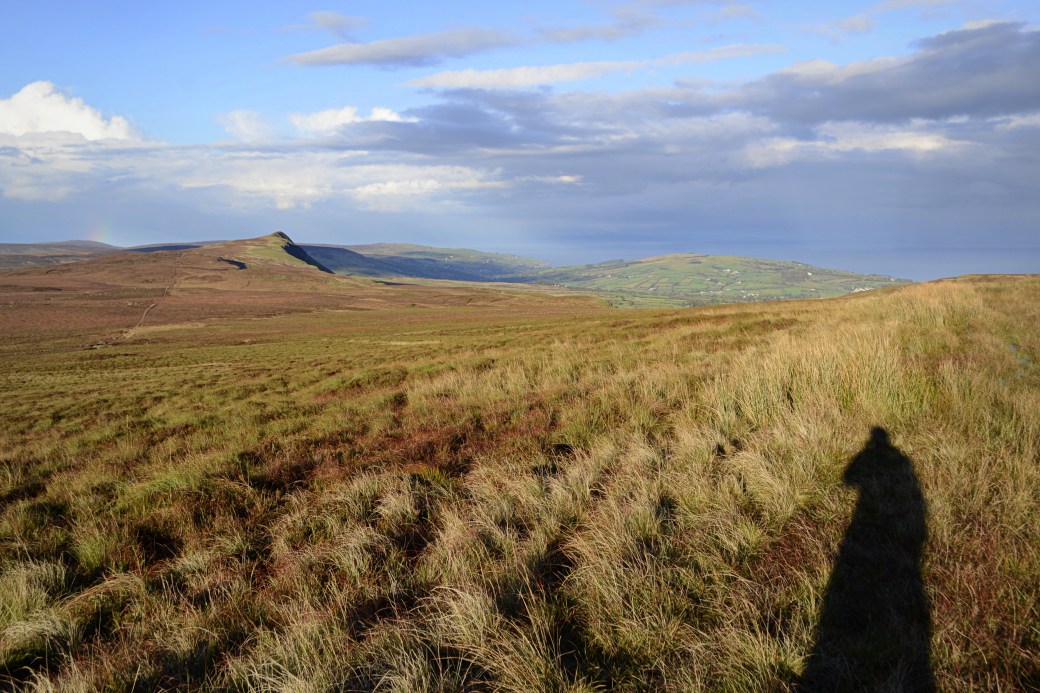
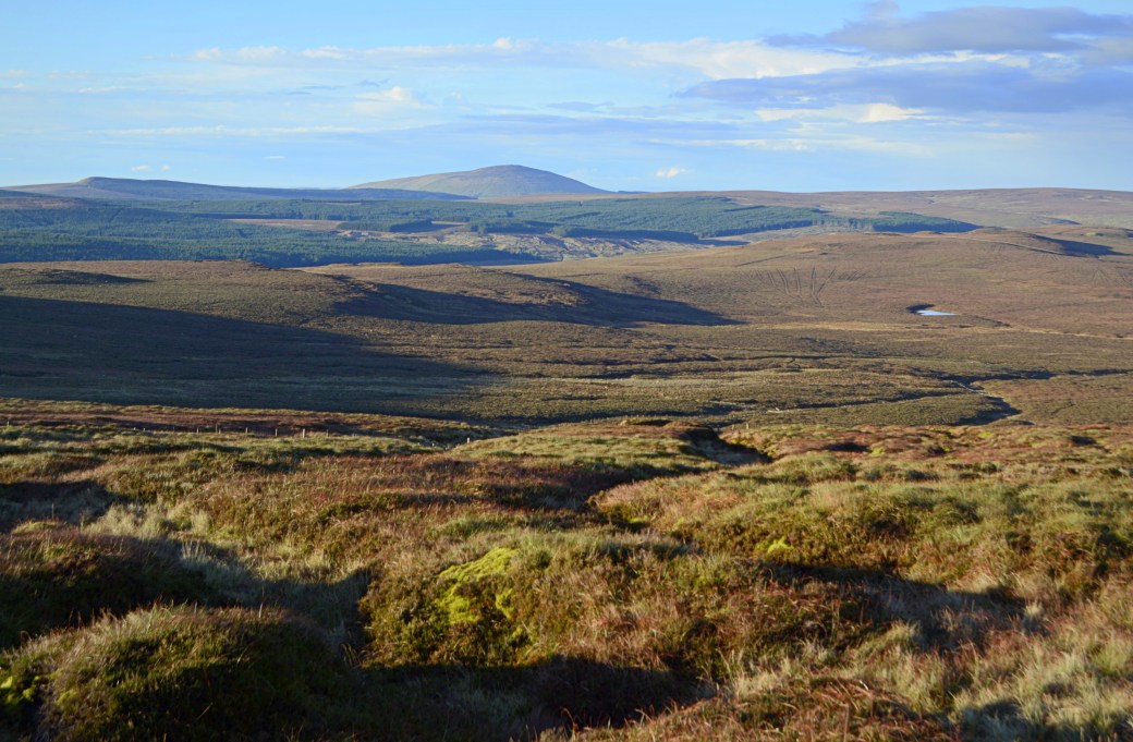
There’s only a slight incline but the views soon opened up to take in the surrounding hills and northeast to the sea, helped by the increasingly blue skies. A quick walk up a large mound, which almost looked man-made, gave a great vantage point.
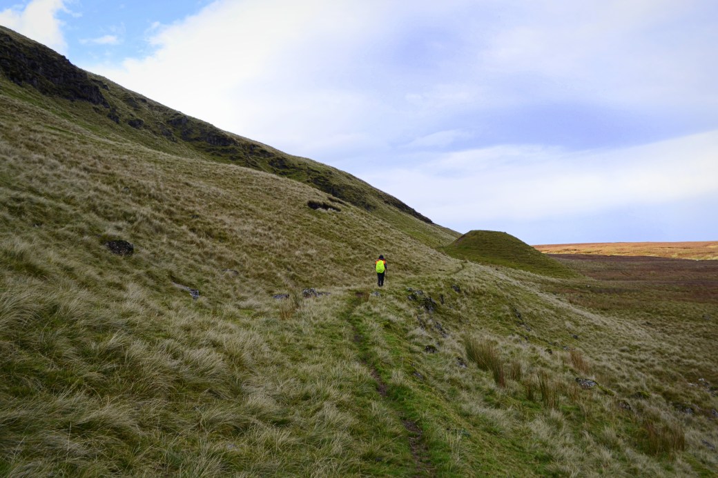
Approaching the mound
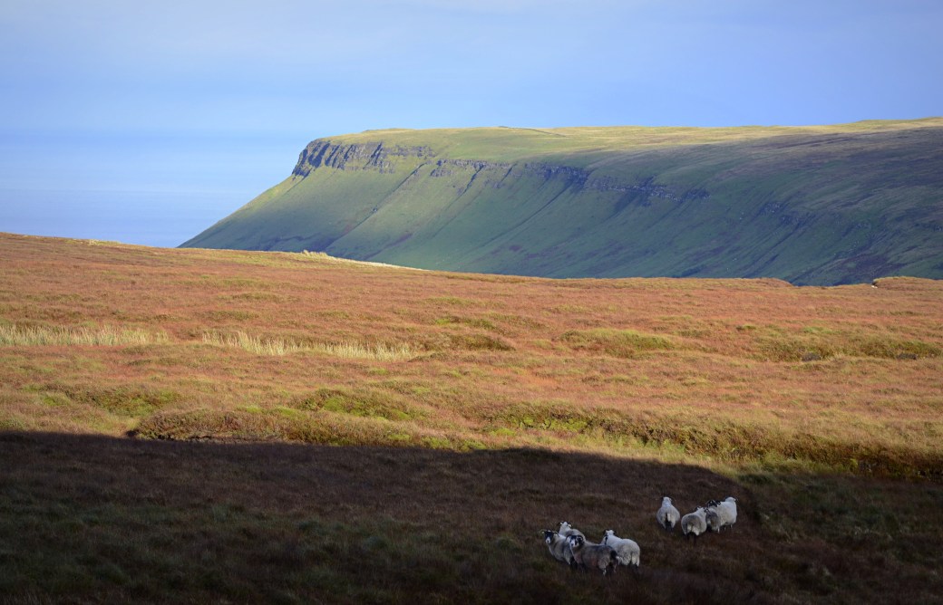
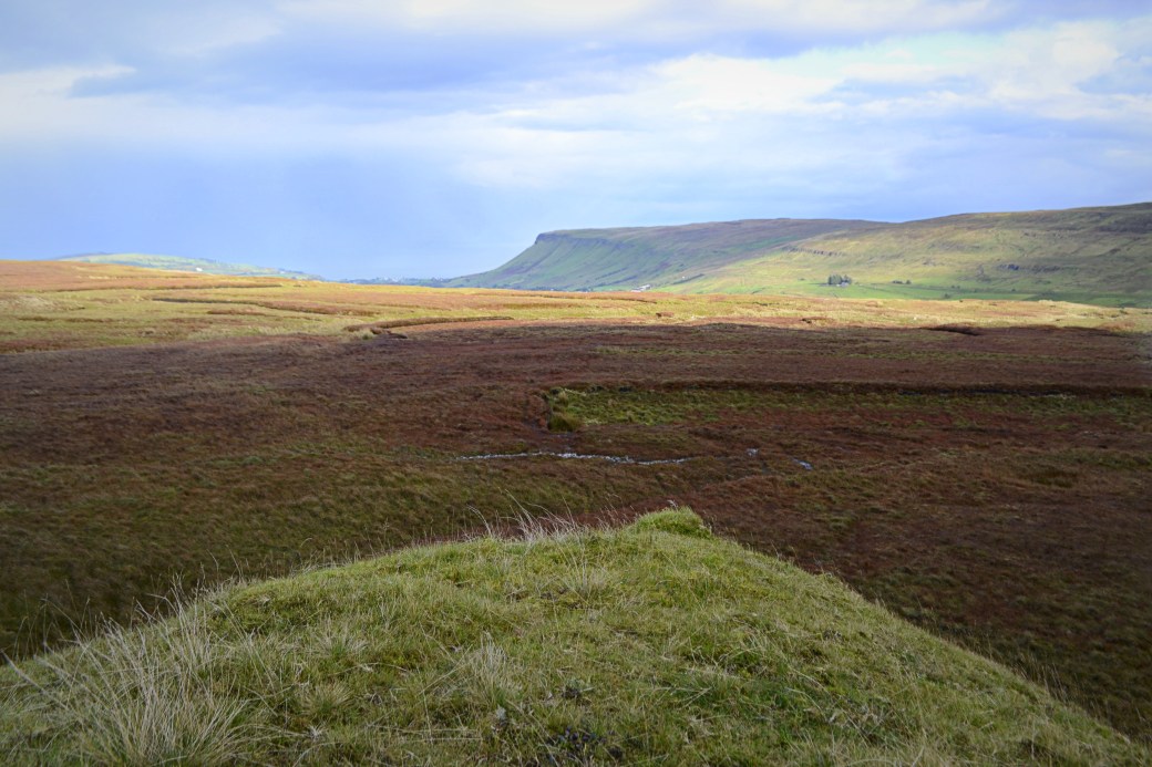 View from the mound to Lurigethan, which overlooks the seaside village of Cushendall
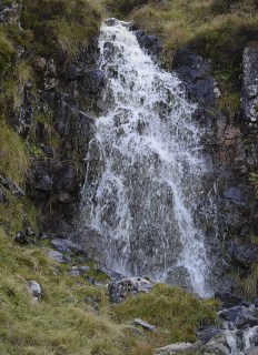
Setting off again, we passed a number of waterfalls tumbling down from the cliffs to join the Ballyemon River.
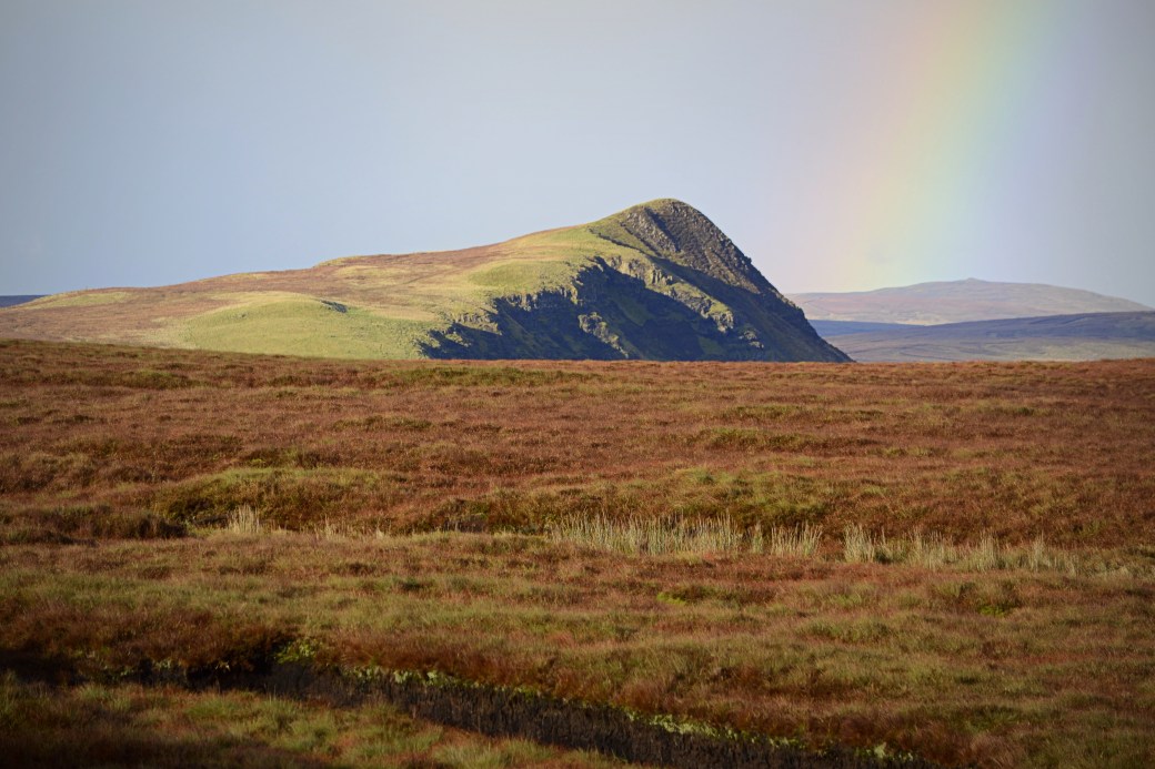
My favourite view from this stage was probably towards neighbouring Tievebulliagh, one of the more shapely and striking of the Antrim Hills. Its steep eastern face and pointed summit emerged gradually, with a rainbow to the right. I’d been up it on Saint Patrick’s Day 2014 and its coastal views are fantastic.
Another, close-up view towards Lurigethan
As the light and visibility improved, we also got some glipses of Scotland, namely the Kintyre Peninsula and little Sanda Island (which resembles an upside-down spoon) off its southeast coast. I’d passed the island on a trip from Ballycastle to Campbeltown aboard the Kintyre Express back in 2012.
As the track rounded the northern slopes of the mountain, we walked into direct sunlight for the first time, with its accompanying warmth.
Looking back towards the sea
Blinded by the sun
The path ended at a fence running between Trostan and Tievebulliagh, and here the hard part began. The uphill slog over wet, boggy ground was a bit of a shock after the gentle stroll on the path but we zig-zagged to make it easier.
A view towards Knocklayd near Ballycastle, taken on the ascent
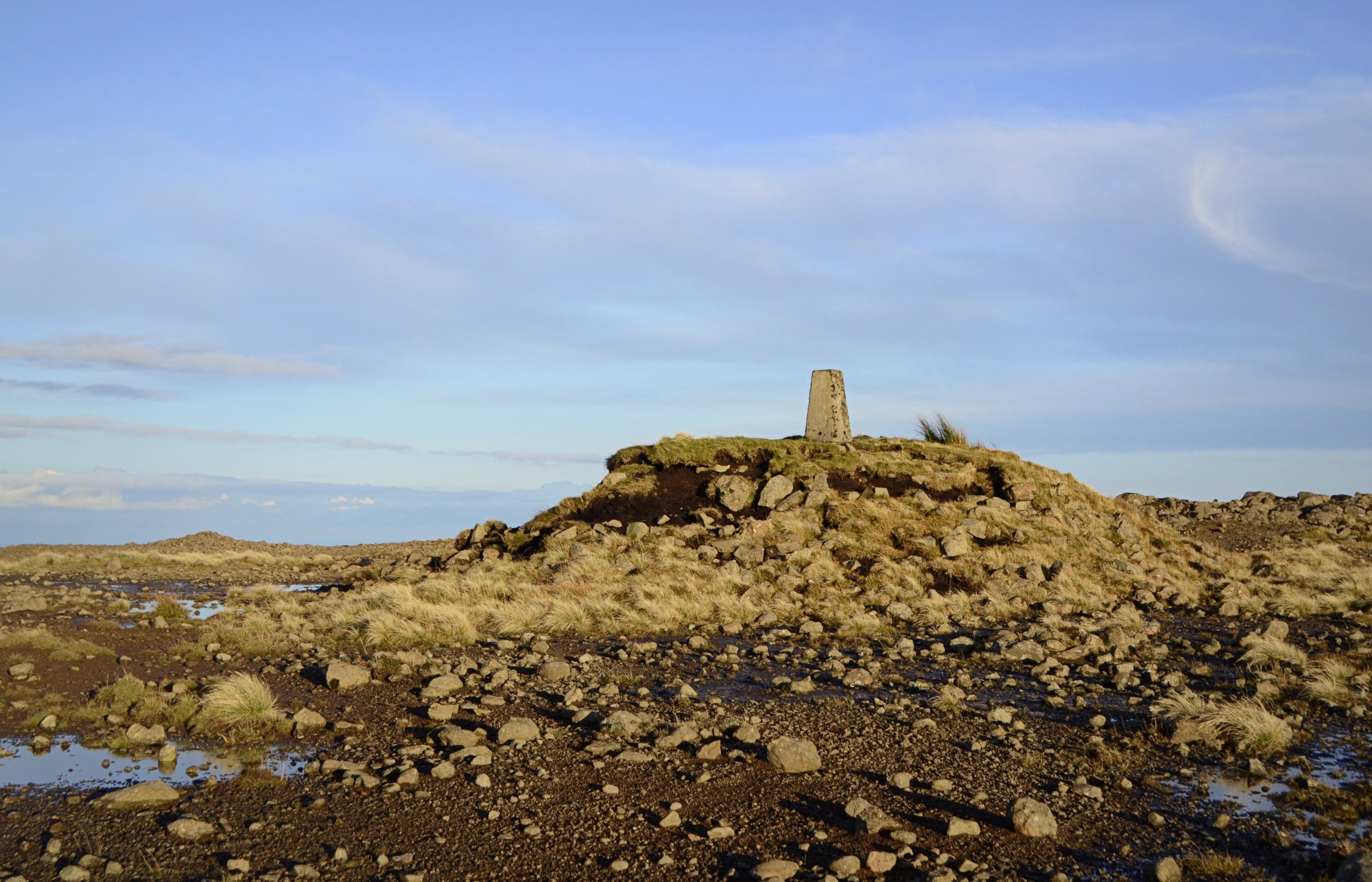
The climb didn’t take too long though and after reaching an obvious ridge, we spotted the elevated trig pillar up to our right.
As anyone who’s been up Trostan will know, the summit is in contrast to the rest of the mountain with its barren, reddish soil; this was more marked in the warm evening sunlight.
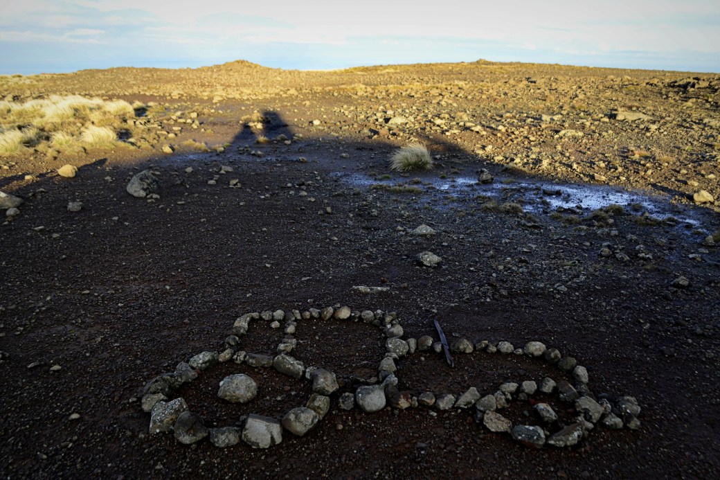 Some interesting rock art in the shadow of the the summit cairn
We spent some time on the summit taking in the fantastic views in all directions. To the south, Slemish appeared more pointed than from other angles, while the Belfast Hills and Lough Neagh could be seen beyond it.
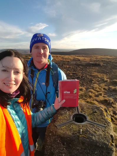
Summit selfie with ‘The Book’ (photo courtesy of Polly)
View south to Slemish, with Dungonnell Reservoir visible on the left
To the north we could see Rathlin Island, with the Hebridean Isle of Islay beyond. Further east, the cliffs of the Mull of Kintyre came gradually into focus. And to the west, views stretched to Donegal’s Inishowen Peninsula.
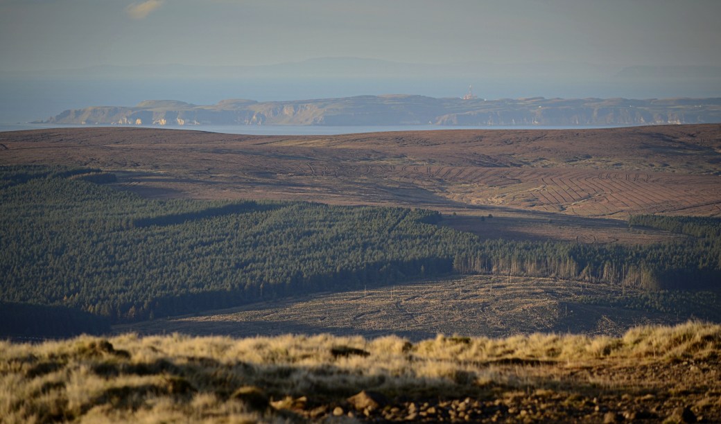
View of Rathlin Island, with Islay faintly visible beyond
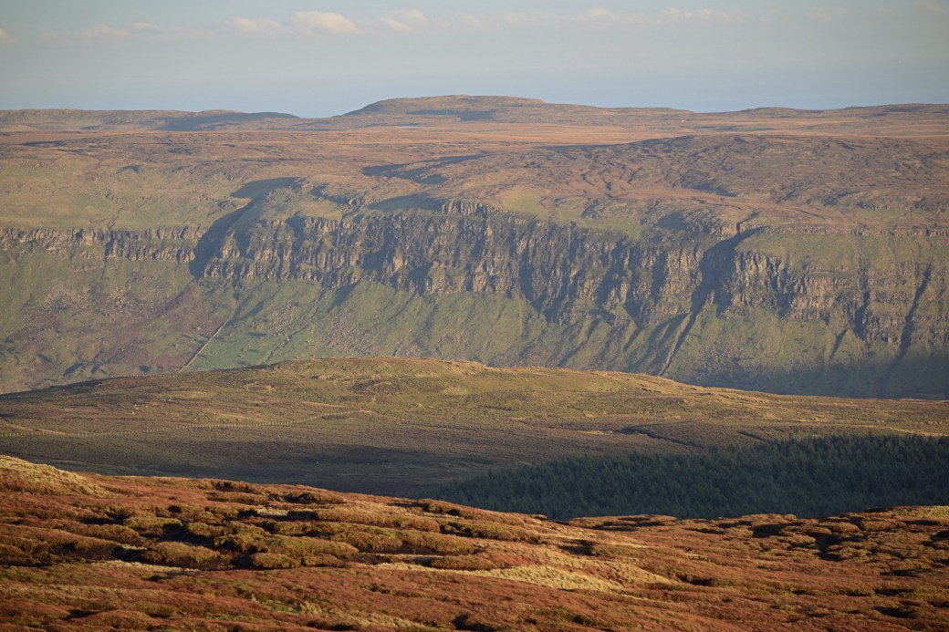
With the the sun setting and the temperature falling, we decided to take a more direct route back to the car. This involved walking parallel to the forest edge. Initially the terrain was easy going, with captivating views ahead of the cliffs rising above the western side of Glenariff.
The route became more cumbersome towards the bottom. We entered an eastern offshoot of the forest where felling had taken place, by climbing under a fence above a stream. From here it was a slow slog on wet and uneven ground to the road, where we emerged a short distance from the car.
While the descent wasn’t as enjoyable as the ascent (in hindsight we should have avoided the forest altogether or even met the track again at some point), it was a great afternoon’s hike. This longer route gave a totally new perspective on an often-maligned mountain. And for Polly, it had taken a third visit to see the views from Trostan.
Total distance: 6.9km / 4.3 miles
Map: OSNI 9 or (ideally) Glens of Antrim Activity Map
You might also be interested in my earlier post: Ireland County High Point Round-up

Nice blog. Lovely light in the pictures.
LikeLiked by 1 person
Great light, great pictures!
LikeLiked by 1 person
Great photos Martin. I thought Trostan was unfairly maligned too, and really enjoyed it – I think I got unusually dry conditions though.
LikeLiked by 1 person
Thanks Aidy. I’ve been there when it’s been really wet but thankfully that latest time was ok, especially with the different route. The views are excellent on a good day.
LikeLiked by 1 person